Shinchang Wind Farm Coastal Drive, Fourteen Turbines Above a Western Sunset
A 1.2-Kilometer Ocean Road Where Blades Meet Golden Hour on the Hangyeong Coast
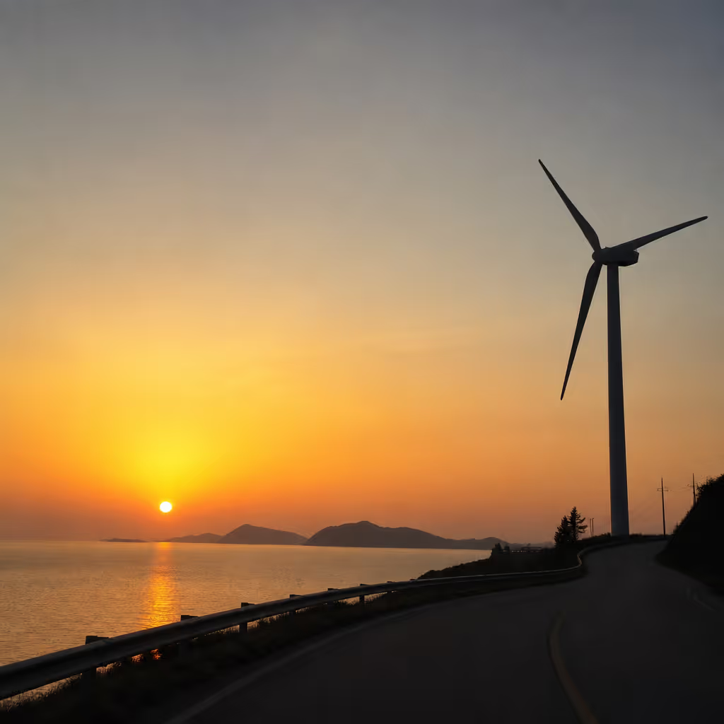
Shinchang Windmill Road runs along the coast at Shinchang-ri in Hangyeong-myeon, a 1.2-kilometer (0.75-mile) drive lined with 14 wind turbines. The Korea Southern Power Shinchang Wind Farm has been operating since 2003 with a total capacity of roughly 49 MW, and average turbine height is about 80 meters (262 feet) with a blade diameter around 71 meters (233 feet). Sunset window brings the blade silhouettes and orange sky into a single frame, and the drive from Galchibada in Aewol runs about 30 minutes. Combining Shinchang with the nearby Chagwido Island and Suwolbong forms an efficient half-day western circuit.
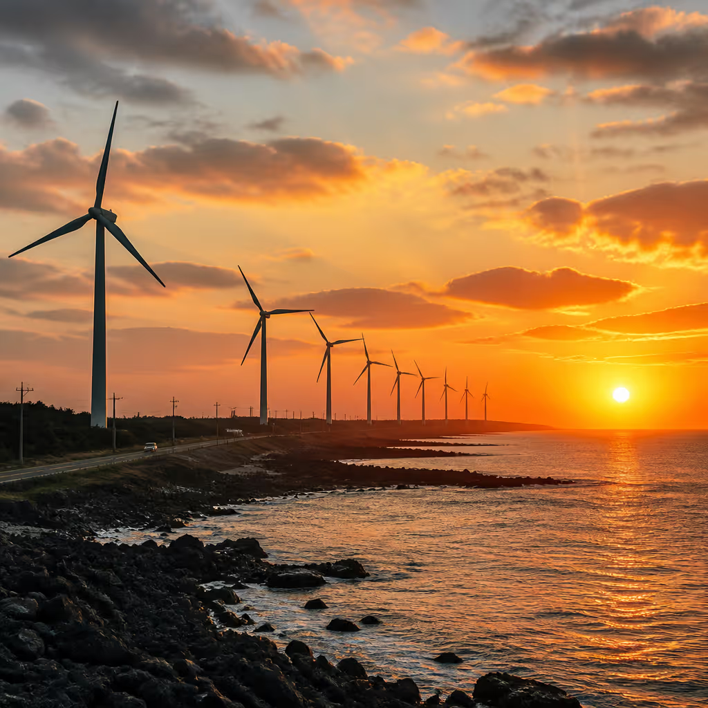
Standing on the western tip of Jeju and watching turbine blades rotate slowly against an ocean horizon slows the moment by a beat. The Shinchang coastal wind road in Hangyeong-myeon lines up 14 turbines above the sea across a 1.2-kilometer (0.75-mile) drive, from Galchibada in Aewol about 30 minutes away, and arriving one hour before sunset means catching the orange light as it stretches across the water toward you. For photographers who have shot at Palm Springs' San Gorgonio wind farm or the coastal turbines of Denmark's Middelgrunden, the register here reads familiar in scale but distinct in the direct line between blade and open Pacific-facing sea.
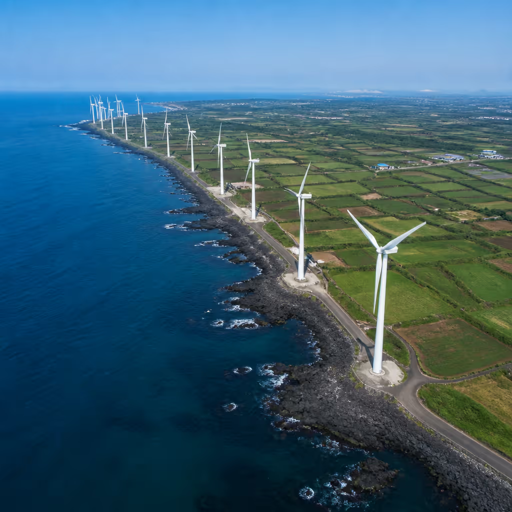
What sets this stretch apart is that the turbines never quite read as industrial infrastructure. The Korea Southern Power Shinchang Wind Farm has been operating since 2003 as one of Korea's earliest utility-scale wind projects, with a total capacity of roughly 49 MW. Turbines average about 80 meters (262 feet) in height with blade diameters around 71 meters (233 feet), so from close up they read as monumental sculpture and from a distance they line up like giant musical notation along the coast. Encountering the same landscape from a car, from the shoulder, and from the walking path adds dimensional variety to what is otherwise a short 1.2-kilometer stretch.
The Coastal Road, 1.2 Kilometers Where Ocean Meets Wind Farm
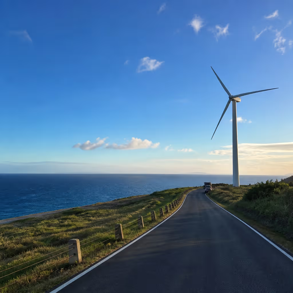
The official name is Jeju Shinchang Windmill Road, and it runs parallel to Route 1132, the Ilju-seoro (Western Ring Road), along a coastal line. Starting near Dumo-ri, the road passes through Shinchang-ri and Hanjang-dong to Sara-ri, and the core 1.2-kilometer segment near Shinchang-ri is where turbines and sea enter the frame together most naturally. A single turn off the ring road onto the coastal branch immediately narrows the pavement and puts the ocean nearly parallel to the driving line.
The road takes two-way traffic with occasional shoulder space for pulling over. Turbines sit 200 to 300 meters (660 to 985 feet) apart, so pulling in beside one turbine, taking photos, and driving on to the next opens variety of angle within a short distance. In strong wind, blades rotate at roughly 15 to 20 revolutions per minute, so a shutter speed of 1/250 second or faster is needed to freeze motion cleanly. Further detail on capacity and operations sits on the Korea Southern Power official site.
Route Sequence, From Start to Finish

The natural starting point is the Shinchang Windmill Road parking lot at the village entrance. Parking is free and accommodates around 30 vehicles. From the lot, five minutes on foot along the coastal walkway reaches the first turbine, and 800 meters (about half a mile) west along the path arrives at the Chagwido Island viewpoint near Sara-ri.
Driving the full stretch takes about 20 minutes, but stopping at each turbine for photos naturally stretches to an hour and a half. At the western end near Sara-ri, small cafes and pensions cluster together, offering a warm drink to close out the sunset window. Turning back east onto the Ilju-seoro toward Sanyang-ri connects to the Cheongsu Gotjawal forest trail, and families with children can add short breaks at two benches along the walking path to keep younger companions from tiring out.
Sunset and Blue Hour, The Most Photogenic Window
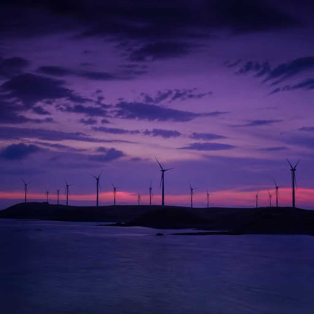
The high point of this drive is sunset and blue hour. The road faces close to due west, so throughout the year the sun sinks directly into the sea at the end of the horizon line. Precise sunset times sit on the Korea Astronomy and Space Science Institute sunrise-sunset tables, and arriving 40 minutes before sunset holds the most comfortable timing.
As the sun approaches the horizon, turbine silhouettes deepen, and in the final 15 minutes golden hour bathes the whole road in warm tone. During the 20 to 30 minutes of blue hour just after sunset, the sky shifts to deep violet with only the outlines of the blades remaining, and a single frame captured here becomes the image at the top of an Instagram feed for the week.
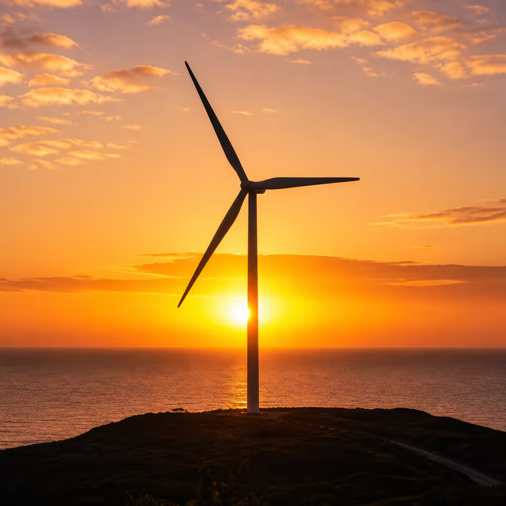
Winter sunset lands around 5:30 p.m. while summer sunset lands around 7:30 p.m., a substantial swing. In December, wind speeds average 8 to 10 meters per second, so blades spin faster and produce longer motion trails for dynamic photography. In June, gentler wind slows the blades into a meditative register. Visiting the same spot in two different seasons puts two entirely different atmospheres inside one location, and the split is a common reason regular photographers return.
Composition and Safety
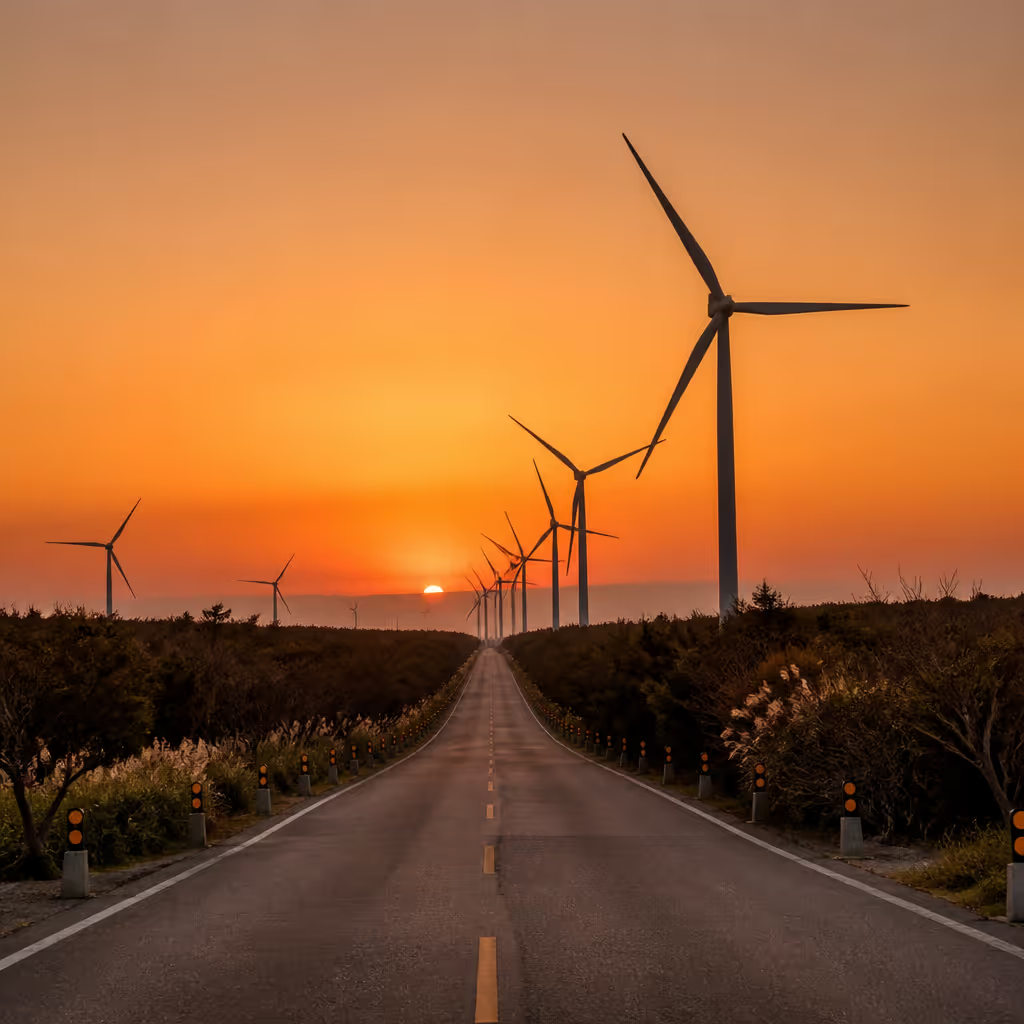
Photogenic compositions fall into three broad types. The first is a line-up shot along the road putting turbines side by side, best captured on a 24mm wide-angle lens. The second is a single-turbine close-up emphasizing the blade curve against sky, best with a 85 to 135mm telephoto. The third is a wide framing tying Chagwido Island and the turbines into one composition, possible near the Sara-ri coastline.
Photographing from the road requires watching for traffic. Shoulder space is narrow and doesn't allow room for a tripod, so hand-held work is the safer choice. Safety fencing sits close to the turbine bases so direct approach is restricted, but extending a camera over the fence for a photo is fine. In winter, patches of the road can develop ice, so keeping double the normal distance between vehicles is the safer driving posture.
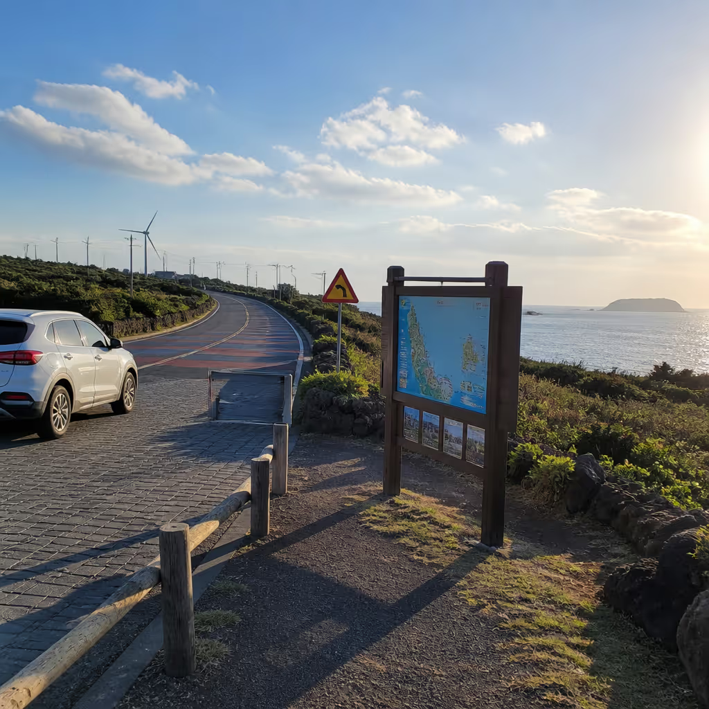
For evening visits, road lighting is sparse and visibility drops after dark. About 30 minutes after sunset the road becomes properly dim, so leaving before blue hour ends is the safer departure timing. With a companion, one person handles the photography and the other watches for traffic. Drone photography requires staying outside the rotor sweep area, keeping altitude above turbine height (around 80 meters or 262 feet), and checking flight zones in advance on the Drone One-Stop portal to avoid incidents.
Nearby Combinations, Chagwido and Suwolbong
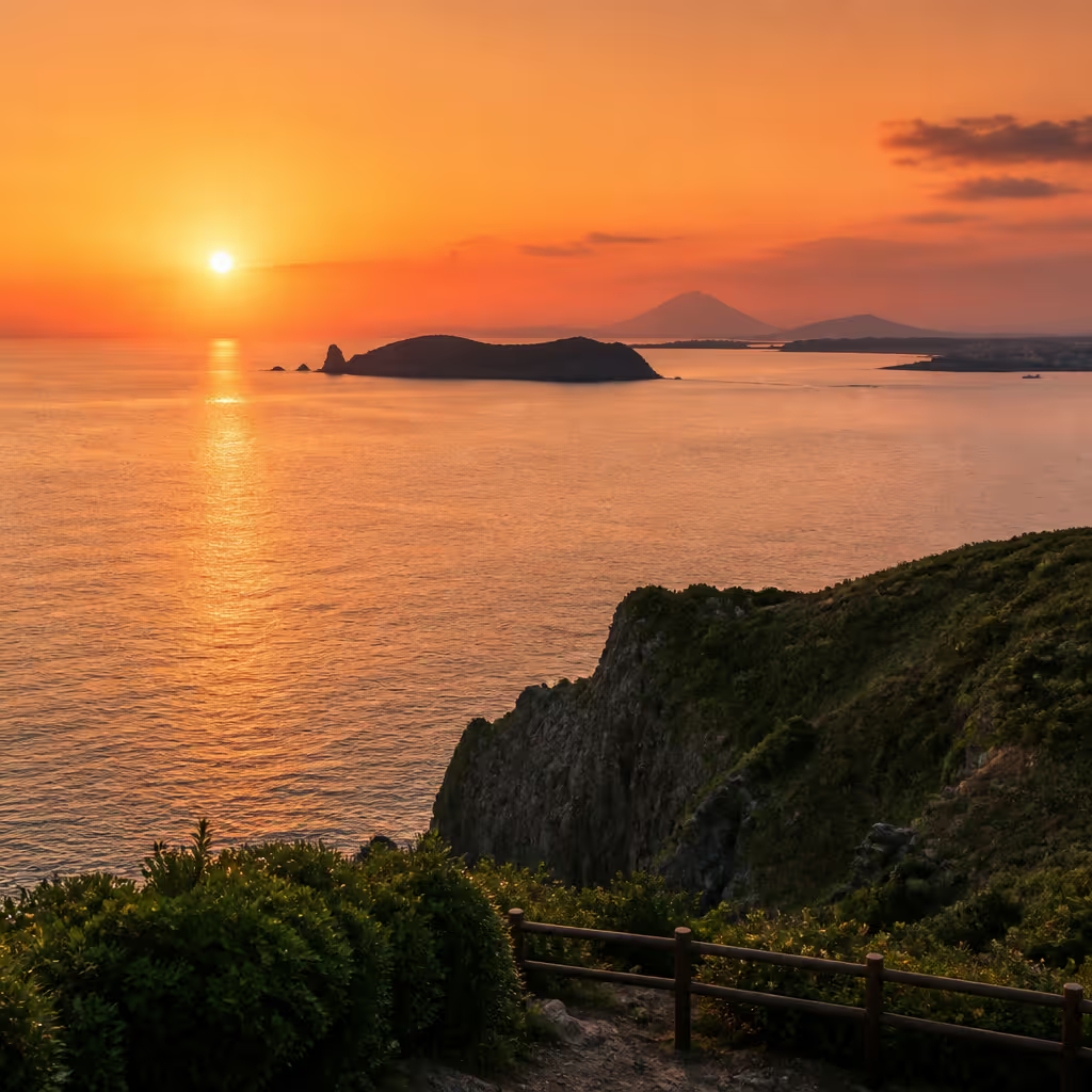
Shinchang Windmill Road is best combined with adjacent sites into a half-day loop. The nearest attraction is Chagwido, roughly 2.5 kilometers (1.6 miles) in a straight line from Sara-ri, reachable by a 10-minute ferry from Jagunae Port for an uninhabited-island walk. Suwolbong is about 15 minutes by car from Shinchang, a short walk revealing UNESCO Global Geopark volcanic layers up close.
For an afternoon plan, finish Chagwido uninhabited island trek → after lunch, then Suwolbong volcanic geology trail → in early evening, then arrive at Shinchang Windmill Road one hour before sunset for the golden and blue hour window. Continuing east 30 minutes along the coastal road after blue hour lands at Galchibada in Aewol, where an evening meal folds the images from the day into one continuous stretch. Fourteen turbines, an uninhabited island, a volcanic geology walk, and a hairtail meal on the same half-day loop is what makes this western circuit worth planning.
At the end of the drive, a walk through the small fishing village lanes around Shinchang coast makes a fitting closer. If the wind farm reads as modern industrial landscape, the slate-roof houses and narrow stone walls in the village show the older grain of the same community. Two eras of landscape sharing one village adds a layer of depth to the impressions collected over a single half-day.
Frequently Asked Questions
- Where is Shinchang Windmill Road, and how far is Galchibada?
- Located in Shinchang-ri, Hangyeong-myeon, Jeju City. From Galchibada in Aewol the drive runs about 30 minutes via Route 1132 (Ilju-seoro / Western Ring Road). Free parking is available, making driving the most convenient access.
- What is the best time to photograph the turbines?
- Arriving 40 minutes before sunset holds both golden hour and blue hour in the same visit. The 20 to 30 minutes of blue hour after sunset produces the most striking contrast between turbine silhouette and violet sky.
- How much time does the route take?
- Driving the full road takes about 20 minutes, and stopping at each turbine for photos stretches to about 1 hour 30 minutes naturally. The coastal walking path runs about 800 meters (half a mile), roughly 25 minutes on foot.
- Are drones allowed?
- Drone flight is prohibited within the rotor sweep area (about 80 meters or 262 feet from turbines), and permitted outside with prior registration. Checking flight zones in advance on the Drone One-Stop portal is required before flying near Shinchang.
- What other sites nearby pair well?
- Chagwido (10-minute ferry from Jagunae Port) and Suwolbong (15 minutes by car) are the closest pairings. Lunch → Chagwido → Suwolbong → Shinchang sunset → Aewol dinner is the most efficient half-day loop.
From a sunset behind fourteen turbines to a dinner table 30 minutes east
After the fourteen turbines, the next seat is a window table on the Aewol coast
Carry the western tip's turbine silhouettes and the blue hour afterglow eastward for just 30 minutes. Beyond a full-height window the sea opens once more, and a stew that runs at a different scale from the giant rotation writes the first page of the evening.
About 30 minutes from Shinchang Windmill Road to Galchibada in Aewol →